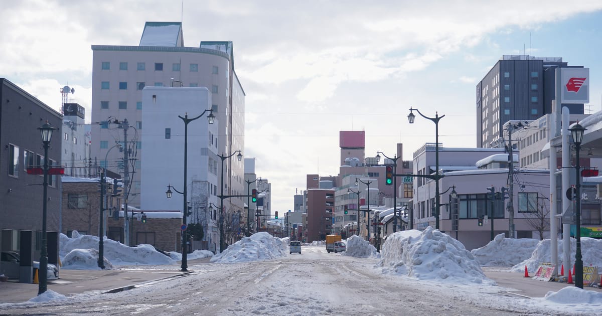
Two numbers that break most people's mental model of Japanese winter. Tokyo's average first snow falls on January 3 — later than Osaka's December 26. And Aomori averages 567 cm of snowfall a winter while Tokyo gets about 8 cm a year, a gap of nearly seventy times. "When does it snow in Japan" is really three separate questions: when does snow first fall, when does it stick, and will I see any during my week. This guide answers all three using Japan Meteorological Agency 1991-2020 normals — first snow, last snow and first snowcap dates for 14 cities, plus month-by-month snowfall and snow depth for eight — and translates the JMA's 2026-27 winter outlook, released September 18, into plain English: it leans mild with less snow, but Hokkaido still gets its snow in January and February.
- First snow sweeps south over about two and a half months: Asahikawa Oct 19 → Sapporo Oct 28 → Aomori Nov 8 → Sendai Nov 17 → Niigata Nov 23 → Toyama Dec 3 → Kyoto Dec 11 → Nagoya Dec 18 → Osaka Dec 26 → Tokyo Jan 3 (all 1991-2020 normals)
- First snow does not mean snow scenery — the official definition includes sleet and requires no accumulation at all. For "will it stick," read snow depth instead
- First snowcap is about the mountain, not the town: Toyama's Mt. Tateyama snowcap normal is Oct 12, but the city's first snow is Dec 3 — 52 days apart
- Most snow falls in January, and it lies deepest in February (Sapporo: 137 cm of snowfall in January, 95 cm on the ground in February). Asahikawa peaks in December; Kyoto, Nagoya and Osaka in February
- The JMA's 2026-27 winter outlook leans mild with less snow; it gets reviewed on October 20
- Tokyo averages 8.5 snowfall days and about 8 cm a year, mostly in January and February. 10 cm in 12 hours triggers a heavy-snow warning and the city seizes up
📖 Table of contents (click to expand)
- 1. What "first snow" officially means in Japan
- 2. First snow vs first snowcap: the 52-day trap
- 3. When does it snow in Japan? First snow dates for 14 cities
- 4. Which month gets the most snow?
- 5. Does it snow in Tokyo?
- 6. Where to go for snow, and when
- 7. How do I check whether it will snow on the day?
- 8. Will the 2026-27 winter be snowy?
- 9. Frequently asked questions
What "first snow" officially means in Japan
Every late autumn, Japanese news starts announcing "first snow in city X," and travellers immediately assume it is time to book.
The JMA defines hatsuyuki (first snow) as the first day in a cold-season year — August through the following July — that the local weather station observes falling snow. Two details matter enormously. First, sleet counts: a few minutes of half-rain, half-snow satisfies the definition. Second, no accumulation is required. On the average first-snow day you could stand in the middle of the city and see a handful of flakes dissolve before they reach the pavement.
So answering "when does it snow in Japan" with the first-snow date badly overstates what you will actually see. What determines whether there is snow scenery is snowfall volume and snow depth — a completely different data set, laid out in section 4.
First snow vs first snowcap: the 52-day trap
The second frequent mix-up is treating hatsukansetsu (first snowcap) as if it were first snow.
Up to the 2026 cold-season year, first snowcap was officially the day station staff first saw a mountain summit visible from the weather station capped with snow. It is about the mountain, and it had to actually be visible — if cloud hid the peak on the day it whitened, the record waited. Because summits cool far earlier than the plains, snowcap normally precedes first snow by a wide margin. From the 2026-27 winter the JMA no longer observes it by eye and reports summit snow cover from analyzed snow depth instead, noting that this cannot be simply compared with past snowcap dates, so treat the snowcap normals in the table below as historical reference.
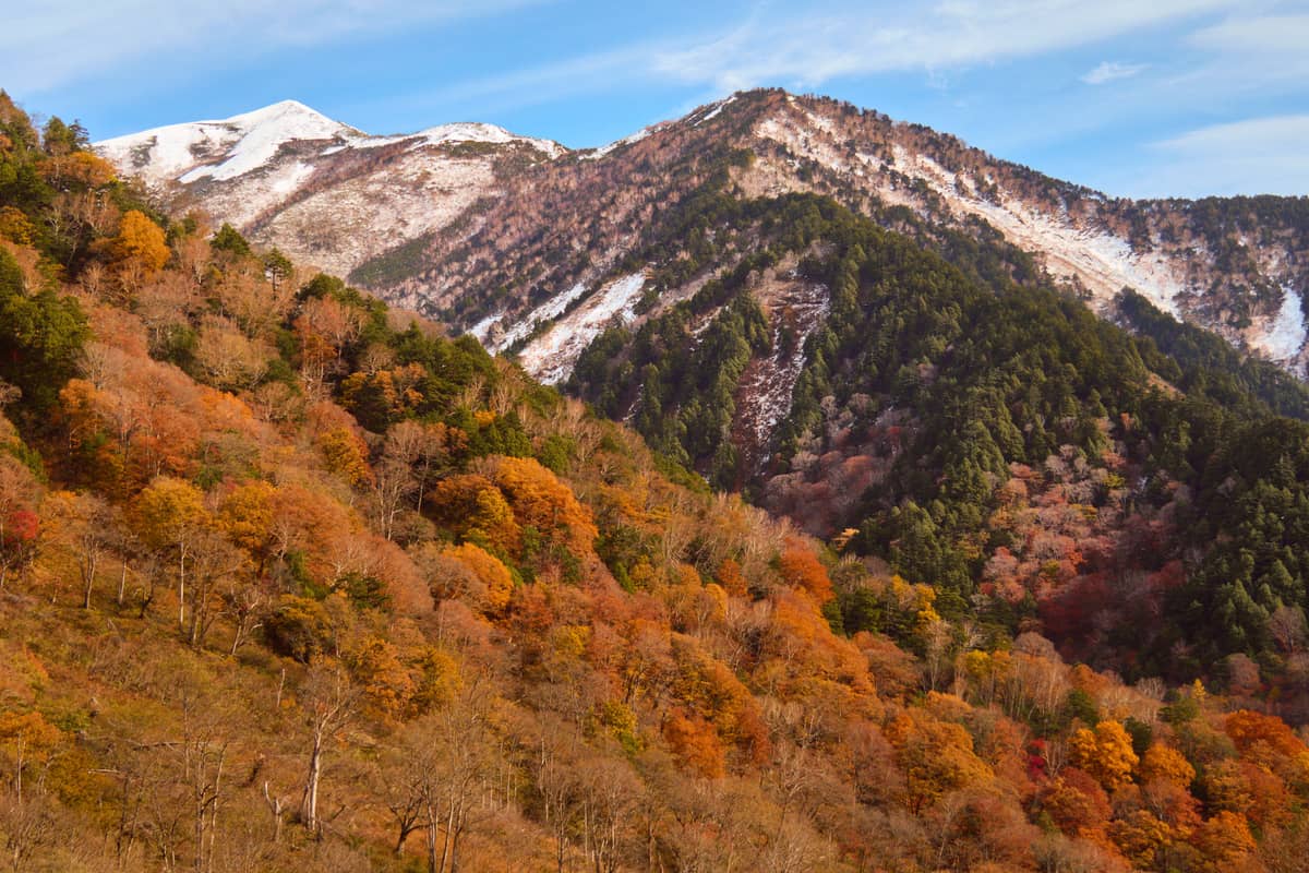
Toyama proves the point better than any explanation. From the same weather station and the same normals table: Mt. Tateyama's first-snowcap normal is October 12, while Toyama city's first-snow normal is December 3 — a 52-day gap. Book a flight the week you read "Tateyama has its first snowcap" and you will arrive nearly two months before the city sees a flake.
Asahikawa is the other headline generator. Mt. Asahidake's first-snowcap normal is September 25, genuinely among the earliest snow sightings on the Japanese mainland — but that is a 2,291-metre summit. Asahikawa city itself does not reach its first-snow normal until October 19, nearly a month later.
The practical rule: read the first-snow column, not the snowcap column, unless you were planning to go up a mountain anyway. Note too that not every station has a snowcap normal at all. Tokyo, Osaka, Kyoto, Nagoya and Niigata have no snowcap entry in the normals table because no suitable mountain is visible from the station.
When does it snow in Japan? First snow dates for 14 cities
It depends on the city, and the spread is two and a half months: Asahikawa sees first snow on October 19, Sapporo October 28, Sendai November 17, while Tokyo waits until January 3, later than Osaka's December 26. First snow only needs flakes in the air, not accumulation; for snow that sticks, plan for mid-January to February in Hokkaido or on the Sea of Japan side of Tohoku. The table also lists last snow and first snowcap normals (1991-2020), north to south.
| City | First snow (normal) | Last snow (normal) | First snowcap (mountain observed) |
|---|---|---|---|
| Asahikawa | Oct 19 | May 1 | Sep 25 (Mt. Asahidake) |
| Sapporo | Oct 28 | Apr 21 | Oct 18 (Mt. Teine) |
| Aomori | Nov 8 | Apr 15 | Oct 19 (Hakkoda) / Oct 21 (Mt. Iwaki) |
| Sendai | Nov 17 | Apr 9 | Oct 28 (Mt. Zao) / Nov 13 (Mt. Izumigatake) |
| Nagano | Nov 18 | Apr 8 | Oct 25 (eastern range) |
| Niigata | Nov 23 | Apr 6 | not observed at this station |
| Kanazawa | Nov 24 | Apr 7 | Oct 21 (Mt. Haku) |
| Toyama | Dec 3 | Apr 5 | Oct 12 (Mt. Tateyama) |
| Kyoto | Dec 11 | Mar 23 | not observed at this station |
| Fukuoka | Dec 16 | Mar 7 | Dec 10 (Mt. Sefuri) |
| Nagoya | Dec 18 | Mar 12 | not observed at this station |
| Osaka | Dec 26 | Mar 8 | not observed at this station |
| Tokyo | Jan 3 | Mar 9 | not observed at this station |
| Kagoshima | Jan 5 | Feb 17 | — |
Four readings worth pulling out of that table:
- Tokyo snows later than Osaka. January 3 against December 26, eight days apart, even though Tokyo sits further north. Tokyo's urban heat island and its Pacific-facing warm current lift local temperatures, while Osaka occasionally catches snow clouds that spill over the mountains from the Sea of Japan side. The intuition that "further north always snows earlier" simply does not hold between Japan's big cities.
- Last-snow dates run later than most people assume. Asahikawa's last-snow normal is May 1, Sapporo April 21, Aomori April 15. Northern Japan is statistically still within snow range around Golden Week. If you are heading north in spring, do not pack to a Honshu standard — region-by-region gear is covered in what to wear in Japan by season and region.
- Fukuoka gets snow, and it is not a freak event. First snow December 16, last snow March 7 — a window of nearly three months. Kyushu in winter is not automatically snow-free, which trips up a lot of itineraries.
- Kagoshima has the shortest season on the table, running from a January 5 first snow to a February 17 last snow: roughly six weeks end to end.
First snow across Hokkaido
Wakkanai Oct 19, Asahikawa Oct 19, Kutchan Oct 20, Rumoi Oct 25, Abashiri Oct 30, Otaru Oct 31, Hakodate Nov 1, Obihiro Nov 1, Kushiro Nov 7.
Practically the whole island reaches first snow between late October and early November, meaning Hokkaido at the end of October is already inside snow range. Same caveat as ever, though: first snow is not accumulation, and what you would most likely see in late October is a brief flurry that vanishes.
Which month gets the most snow?
January brings the most snowfall; February has the deepest snow on the ground. Two exceptions: Asahikawa gets the most in December (158 cm), and Kyoto, Nagoya and Osaka peak in February.
| City | Annual snowfall | Annual max depth | Dec fall / depth | Jan fall / depth | Feb fall / depth |
|---|---|---|---|---|---|
| Asahikawa | 557 cm | 89 cm | 158 / 58 | 125 / 72 | 97 / 84 |
| Sapporo | 479 cm | 97 cm | 113 / 47 | 137 / 76 | 116 / 95 |
| Aomori | 567 cm | 101 cm | 143 / 51 | 195 / 83 | 141 / 97 |
| Toyama | 253 cm | 51 cm | 49 / 23 | 104 / 40 | 84 / 39 |
| Kanazawa | 157 cm | 32 cm | 24 / 11 | 67 / 27 | 53 / 22 |
| Niigata | 139 cm | 32 cm | 19 / 8 | 63 / 23 | 48 / 23 |
| Kyoto | 15 cm | 7 cm | 2 / 2 | 5 / 3 | 7 / 4 |
| Tokyo | 8 cm | 6 cm | 0 / 0 | 4 / 3 | 4 / 3 |
Centimetres, JMA 1991-2020 normals. "Fall" is the month's total snowfall; "depth" is the deepest snow lying on the ground that month (30-year average). Bold marks each city's peak month.
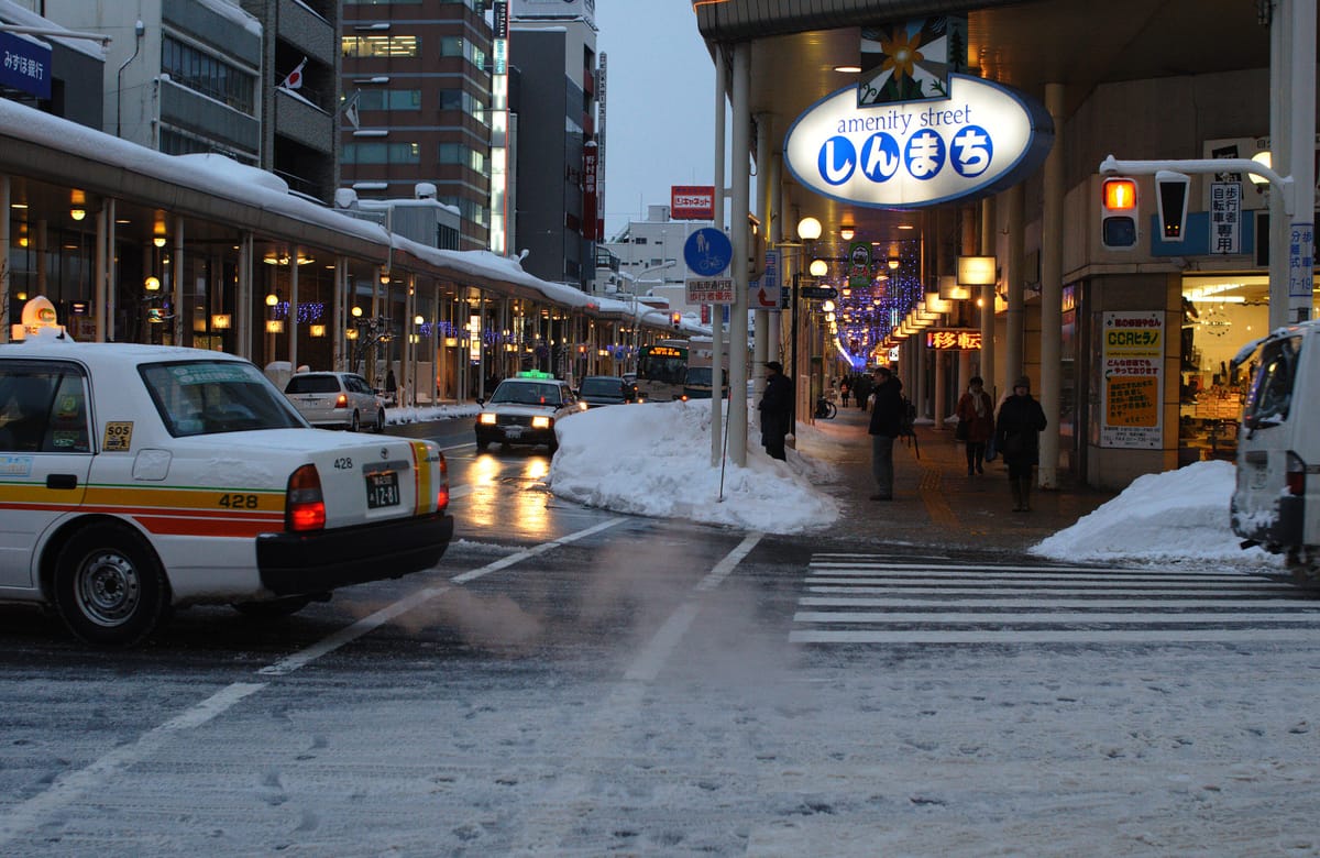
Two things to take from that table.
First, the gap is an order-of-magnitude gap. Aomori receives 567 cm in a winter; Tokyo about 8 cm in a year. That is not "a bit more up north," it is a different country climatically. Which leads to my flat recommendation: do not gamble on Tokyo snowing. Spend the money on getting to snow country instead.
Second, northern snow lies deepest in February. Aomori gets 567 cm of snowfall a year but the ground holds about a metre at most (annual max depth 101 cm), because snow compacts, melts and gets ploughed away. Hokuriku is different: Toyama, Kanazawa and Niigata are about as deep in January as in February. Early December is the classic disappointment window: past the first-snow date in much of the north, but Sapporo's December depth (47 cm) is half of February's.
Kyoto is a third pattern: snow falls on 44.5 days a year but only 15 cm accumulates in total. You will often see flakes and rarely see snow lying.
When does snow start lying in Hokkaido?
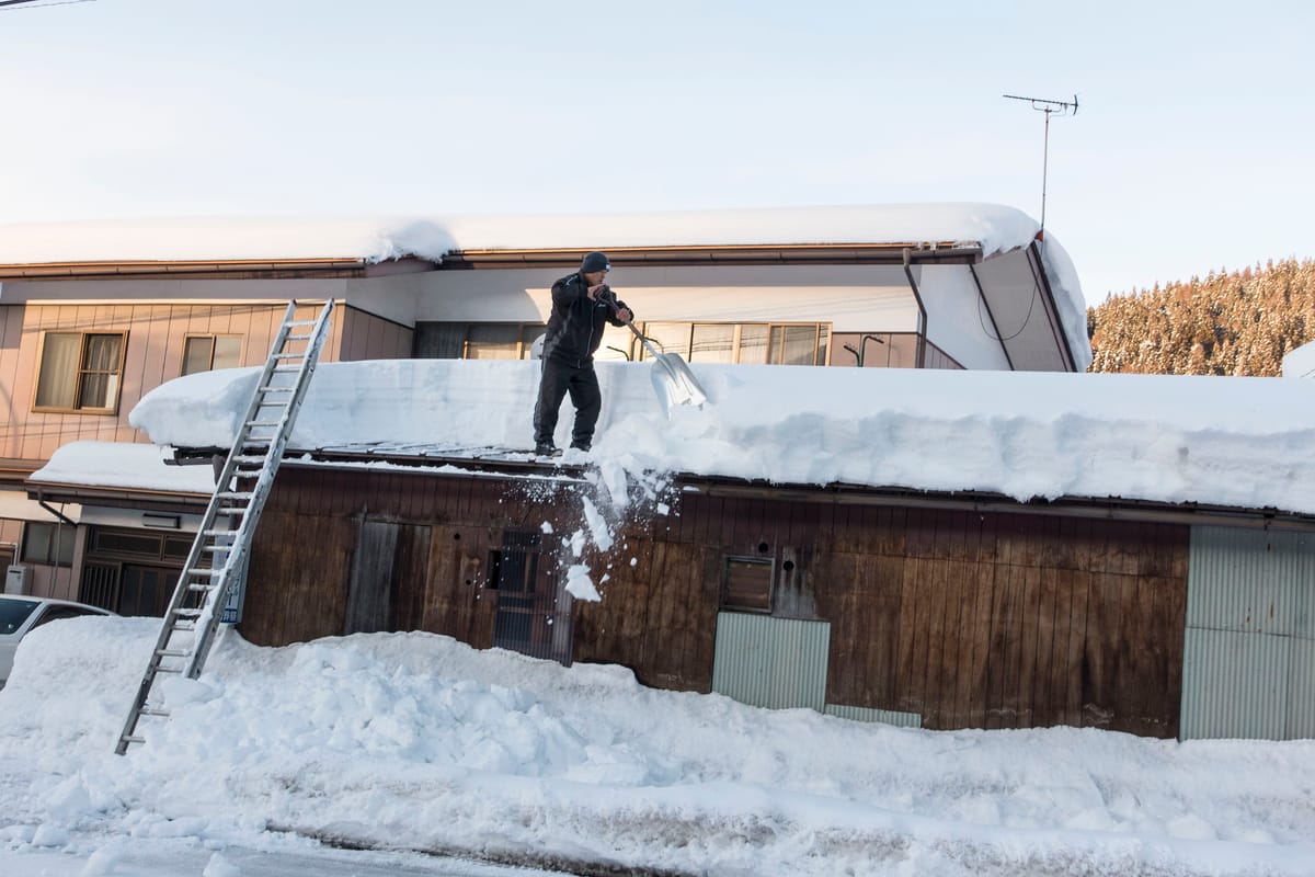
Japanese calls it neyuki: snow that settles one day in winter and does not melt until spring. The JMA's statistics call it long-term snow cover. In Hokkaido the normals look like this:
| Normal date | Sapporo | Asahikawa |
|---|---|---|
| First snow | Oct 28 | Oct 19 |
| Snow first lies on the ground (1 cm+) | Nov 12 | Nov 4 |
| Snow stops melting (neyuki starts) | Dec 6 | Nov 24 |
| Neyuki ends | Apr 2 | Apr 7 |
| Last winter (2025-26): first snow / lying / neyuki | Oct 23 / Nov 8 / Dec 3 | Oct 20 / Oct 28 / Nov 17 |
In short: flurries at the end of October, snow on the ground from mid-November, and it stays from early December. For deep snow, go mid-January to February. A November day tour from Sapporo to Biei does not guarantee snow scenery.
Does it snow in Tokyo?
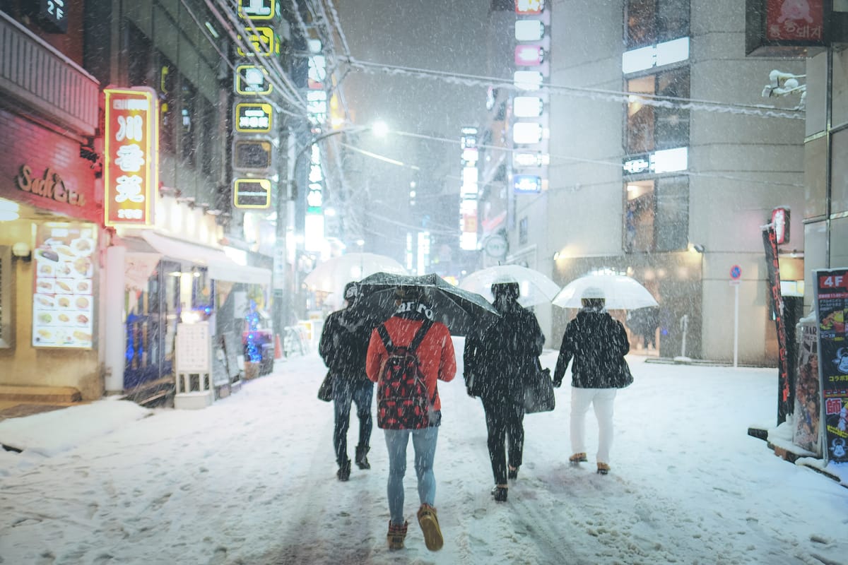
Yes, on about 8.5 days a year, mostly in January and February, and it rarely sticks. If you want to be sure of standing in snow, leave Tokyo.
| Tokyo, 1991-2020 normals | Value |
|---|---|
| First snow | January 3 |
| Last snow | March 9 |
| Snowfall days per year | 8.5 days (Dec 0.6 / Jan 2.8 / Feb 3.5 / Mar 1.4 / Apr 0.1) |
| Annual snowfall total | 8 cm |
| Annual maximum snow depth | 6 cm |
Translated into traveller terms: a five-day Tokyo stay in February averages about 0.6 snowy days, in January about 0.5, in December about 0.1, and the snow you catch will most likely melt on contact. December snow in Tokyo is uncommon rather than impossible, but do not plan a white Christmas there.
Recent winters: 2021-22 had 10 snow days and 10 cm maximum depth; 2022-23 had 2 days and nothing settled; 2023-24 had 5 days and 8 cm; 2024-25 had 6 days and 1 cm; 2025-26 had 6 days and 5 cm.
The real Tokyo snow problem is infrastructure, not volume
What deserves your attention is what happens when Tokyo does get snow. The official warning thresholds tell the story:
| Level | Tokyo district (23 wards) threshold |
|---|---|
| Heavy snow advisory | 5 cm of snowfall depth in 12 hours |
| Heavy snow warning | 10 cm of snowfall depth in 12 hours |
| Heavy snow emergency warning | A once-in-50-years snow depth across a prefecture-scale area, with warning-level snowfall expected to continue about a full day or more |
| Icing / snow accretion advisory | Heavy-snow-warning conditions with temperatures between -2℃ and 2℃ |
Ten centimetres in twelve hours triggers a heavy snow warning — a threshold that would not make the local news in Hokkaido. The difference is infrastructure: Tokyo has almost no road-heating, ordinary cars run summer tyres year-round, and pedestrians own no snow boots. The same snowfall is routine in Sapporo and a civic emergency in Tokyo. If you are there on that day, knowing what Warning Levels 1 to 5 ask you to do matters more than the centimetre count — and those alert names were all rewritten on 29 May 2026.
The most recent example is the south-coast low of January 22, 2018, when Tokyo recorded 23 cm of snow depth. Multiple metropolitan expressway sections closed and airports saw large-scale cancellations and stranded passengers.
Practical advice: if a heavy-snow forecast lands on your Tokyo dates, move airport transfers and shinkansen legs a day earlier rather than travelling on the day itself. And if you want snow within a day trip of Tokyo, the realistic options are covered in winter day trips from Tokyo.
Where to go for snow, and when
One disclaimer before the list: this section is not written for skiers. If you want snow quality, resort comparisons and lift-pass maths, go straight to the Japan ski resort comparison. What follows is for the traveller who simply wants to see and photograph snow without strapping anything to their feet.
Every window below is a statistical peak, not a promise.
| What you want to see | Best window | Deep dive |
|---|---|---|
| Reliable deep snow in a walkable city | Mid-Jan to Feb | Hokkaido 7-day winter itinerary |
| Large snow and ice sculptures | Early Feb | Sapporo Snow Festival guide |
| Snow plus canal lantern nights | Early Feb | Otaru Snow Light Path |
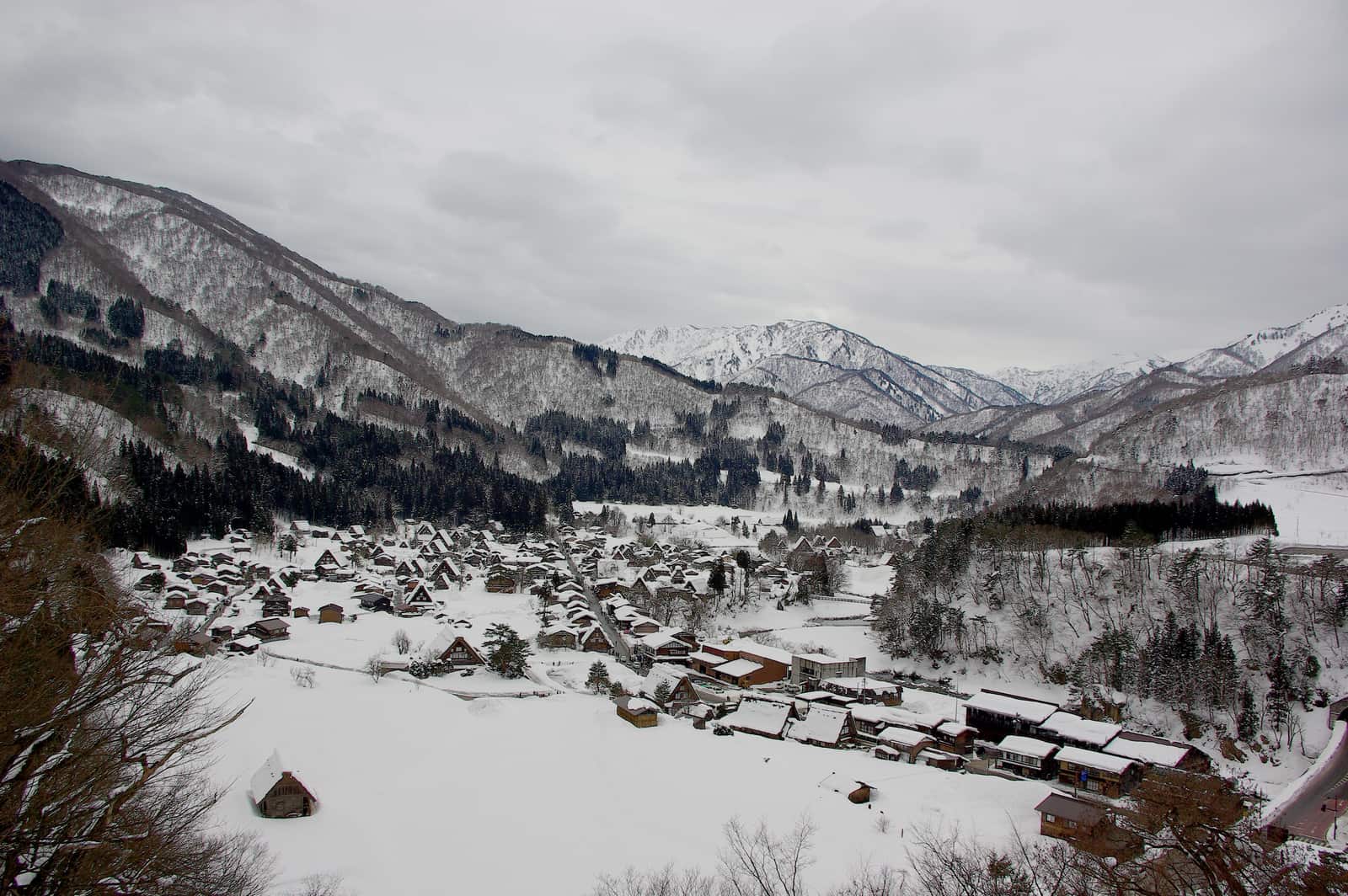
| Thatched gassho farmhouses under snow | Jan to Feb | Shirakawa-go winter illumination |
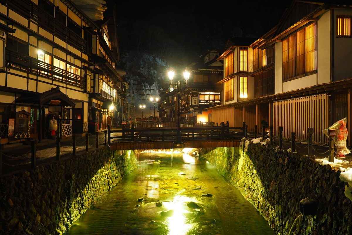
| A snow-buried hot spring street | Jan to Feb | Ginzan Onsen: day trip or overnight |
| Snow monsters (the narrowest window of all) | Late Jan to Feb | Zao snow monsters guide |
| Drift ice | Late Jan to Mar | Hokkaido drift ice guide |
| Snow monkeys in a hot spring | Jan to Feb | Nagano snow monkey park |
| Snow on a day trip from Tokyo | Jan to Feb | GALA Yuzawa by shinkansen |
| A full Tohoku snow-country loop | Jan to Feb | Tohoku winter itinerary |
| No snow whatsoever, thanks | Dec to Feb | Okinawa winter escape |
Routing a snow-chasing trip
If you have the days and want two different kinds of snow in one trip, I would run Tohoku first (Zao, Ginzan, Aomori), then Hokkaido. Both regions peak from mid-January to February, but southern Tohoku's season closes earlier, so working south to north avoids arriving back to a thaw. If your flights are fixed in and out of Tokyo, the simpler shape is to use Tokyo as a base and run two separate shinkansen legs — one to Echigo-Yuzawa, one into Tohoku.
Two mountain areas close in the snow season, so do not plan them for winter: see the Tateyama Kurobe guide and the Kamikochi access guide for opening periods. Driving instead? Read winter driving in Japan first. For the seasonal food side of a snow trip, see Japan winter food guide.
How do I check whether it will snow on the day?
Use the JMA "Snow forecast" page: jma.go.jp/bosai/snow/. It analyses snow depth and snowfall on a roughly 5 km grid, updates hourly and looks six hours ahead, which answers exactly "will there be snow on the ground when I go out tomorrow morning." It is Japanese-only but map-driven and colour-coded.
Will the 2026-27 winter be snowy?
The official outlook leans mild with less snow. The JMA cold-season forecast (covering December to February), released at 14:00 on September 18, 2026, puts a 60% chance on above-normal temperatures in eastern and western Japan, a 50% chance on below-normal snowfall on the Sea of Japan side of Tohoku, Hokuriku and Kinki, and 40% each on near-normal or below-normal snowfall on the Sea of Japan side of Hokkaido. The JMA's explanation is a weaker winter monsoon with less influence from cold air.
| Region | Temperature | Snowfall |
|---|---|---|
| Hokkaido | Near normal or above, 40% each | Sea of Japan side: near normal or below, 40% each |
| Tohoku | Above normal 50% | Sea of Japan side: below normal 50% |
| Hokuriku (Niigata, Toyama, Kanazawa) | Above normal 60% | Below normal 50% |
| Kanto (Tokyo) | Above normal 60% | No snowfall outlook; precipitation above normal 50% |
| Kinki | Above normal 60% | Sea of Japan side: below normal 50% |
This is a probability, not "a low-snow winter for sure." Even in a light winter, Hokkaido gets snow almost daily in January and February; the places that feel it are those already on the margin, such as Hokuriku cities, Kyoto and southern Tohoku. If your trip hinges on snow there, book refundable accommodation and check again a week out.
| Release | Forecast | Covers |
|---|---|---|
| Sep 18, 2026 | Cold-season forecast + three-month forecast | Dec-Feb / Oct-Dec |
| Oct 20, 2026 | Three-month forecast; cold-season forecast reviewed | Nov-Jan |
| Nov 24, 2026 | Three-month forecast (from here on, use the latest one for winter) | Dec-Feb |
| Dec 22, 2026 | Three-month forecast | Jan-Mar |
| Jan 19, 2027 | Three-month forecast | Feb-Apr |
| Feb 22, 2027 | Warm-season forecast + three-month forecast | Mar-May |
One-month forecasts come out every Thursday at 14:30. Seasonal forecasts give tendencies, not the day it will snow: pick the month from the normals, check the one-month forecast two weeks out, and use the live snow page on the day. For fixed winter event dates, see the Japan in winter hub.
Frequently Asked Questions
- Q1:When does it start snowing in Japan?
- It depends entirely on the city, not the month. Using Japan Meteorological Agency 1991-2020 normals, the earliest first-snow dates on the mainland are Asahikawa on October 19 and Sapporo on October 28. Northern Honshu follows in early November (Aomori November 8, Sendai November 17), the Sea of Japan coast in late November to early December (Niigata November 23, Kanazawa November 24, Toyama December 3), and western Japan plus the big tourist cities only in mid to late December (Kyoto December 11, Fukuoka December 16, Nagoya December 18, Osaka December 26). Tokyo is the latest of all at January 3. These are 30-year averages, not a forecast for any given winter.
- Q2:Does it snow in Tokyo?
- Yes, on about 8.5 days a year by JMA 1991-2020 normals: 0.6 in December, 2.8 in January, 3.5 in February, 1.4 in March and 0.1 in April. Annual snowfall is about 8 cm and the average annual maximum depth is 6 cm, so it rarely sticks. December snow in Tokyo is uncommon, not impossible.
- Q3:What is the difference between first snow and first snowcap?
- First snow (hatsuyuki) is the first day the weather station observes falling snow, including sleet. It only requires that something frozen fell from the sky; no accumulation is needed. First snowcap (hatsukansetsu) is about the mountain, not the city: up to the 2026 cold-season year (August 2025 to July 2026) it was the first day station staff saw by eye a visible mountain summit covered in snow; from the 2026-27 winter the JMA no longer observes it visually and instead reports summit snow cover from analyzed snow depth, noting that the new data cannot be simply compared with past visual snowcap dates. Because summits cool earlier, snowcap almost always comes first. Toyama is the clearest example: the same station reports a first-snowcap normal of October 12 for Mt. Tateyama but a first-snow normal of December 3 for the city itself, a gap of 52 days.
- Q4:Where and when should I go to see snow that actually sticks?
- Mid-January through February on the Sea of Japan coast or in Hokkaido is the reliable answer. By JMA 1991-2020 normals, annual snowfall totals are 567 cm in Aomori, 479 cm in Sapporo, 253 cm in Toyama, 157 cm in Kanazawa and 139 cm in Niigata, against roughly 8 cm in Tokyo. In most snow-country cities January brings the most snowfall (195 cm in Aomori, 137 cm in Sapporo) and February the deepest snow on the ground (97 cm in Aomori, 95 cm in Sapporo). Build the core of a snow trip around mid-January to mid-February in Tohoku or Hokkaido and your odds are far better than betting on Tokyo.
- Q5:Will the 2026-27 winter be a heavy or light snow year?
- The JMA cold-season forecast released at 14:00 on September 18, 2026 leans mild with less snow: a 60% chance of above-normal temperatures in eastern and western Japan, a 50% chance of below-normal snowfall on the Sea of Japan side of Tohoku, Hokuriku and Kinki, and 40% each for near-normal or below-normal snowfall on the Sea of Japan side of Hokkaido. These are probabilities, not a promise. The JMA will review the outlook with the three-month forecast on October 20, and from November 24 the latest three-month forecast is the one to read.
- Q6:Which month guarantees snow in Japan?
- None. Meteorologically there is no guarantee, only probability. The best odds are mid-January to February in Hokkaido and Aomori, where snow falls on 25 or more days in each of December, January and February. Even in Sapporo, whether it snows on one specific day remains a probability, so check the JMA live snow page before you head out.
📚 Once you know when it snows, the next two questions are what to wear and what to do. Region-by-region gear is in what to wear in Japan; monthly temperatures and travel highlights are in Japan weather month by month; fixed winter event dates are at the winter hub.